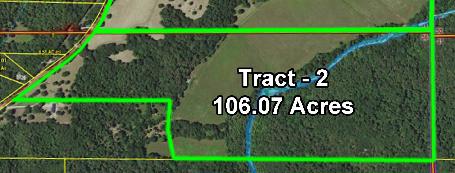
106.07 acres
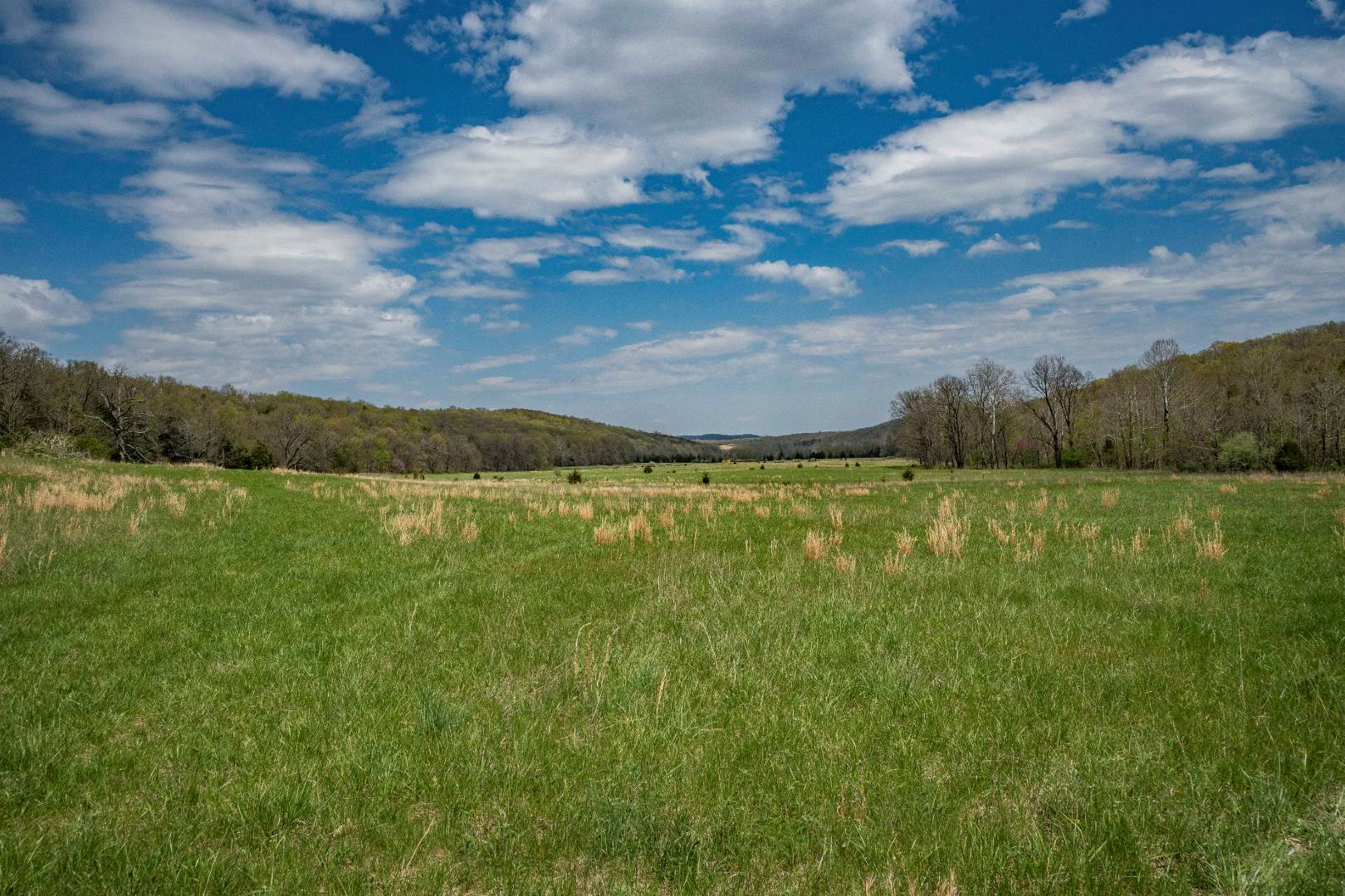
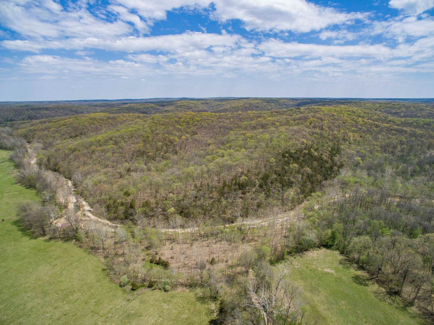
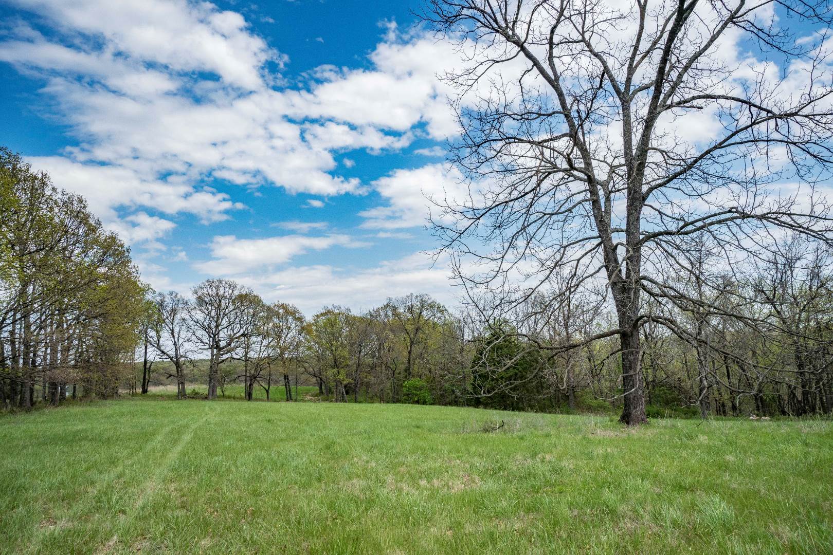
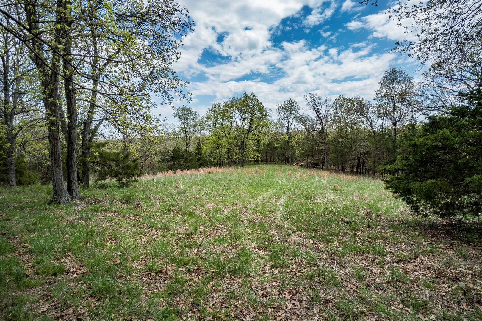
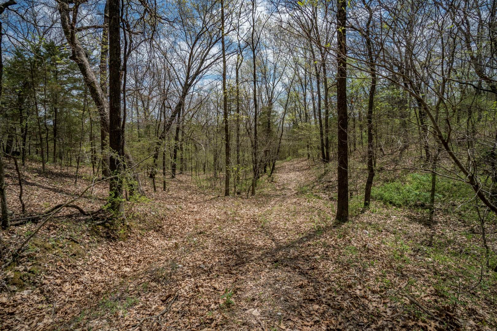
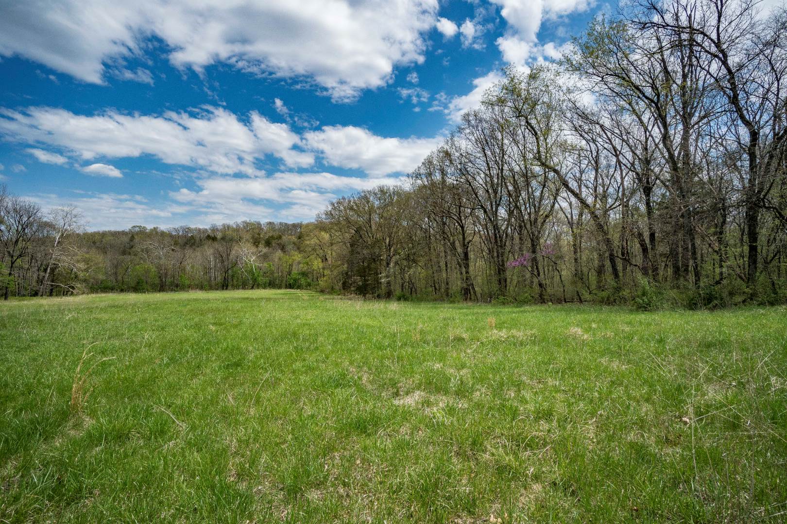
Please note: the price listed is only listed as a placeholder as required by the listing sites. This tract is selling as tract #2 of a three tract auction. Please view our website for details on other tracts. This property is selling at unreserved auction to the highest bidder. •This tract is selling on a per acre basis. The price bid per acre will be multiplied by 106.07 acres to arrive at the total contracted selling price. •No buildings or other improvements except some fencing •Hwy J paved road frontage •Large amount of First Creek frontage •Small road easement listed in legal description has not been used for decades. •2017 real estate taxes paid $130.90 Legal description: Part of the N 1/4 of Section 36 Township 45 North Range 6 West of the 5th P.M. lying East of MO. Rte. "J" described as follows: Beginning at a MO. Land Survey aluminum monument at the NE corner of Section 36, thence with the Range Line S 0˚ 33' 20" E 51.5", thence S 0˚ 16' 10" E 1293.25' to the 1/4 1/4 line, thence leaving the Range Line and with the 1/4 1/4 Line N 89˚ 10' 30" W 2622.87', thence N 89˚ 10' 30" W 139.44' to a point in the center of a 30' road, thence leaving the 1/4 1/4 line and with the center of the road N 10˚ 26' 30" W 324.0', thence N 03˚ 07' 50" E 310.0', thence leaving the road N 89˚ 06' 55" W 1670.0' to the East right of way of MO. Rte. "J", thence with the right of way N 53˚ 46' 45" E 684.8', thence with a curve to the left having a radius of 1467.7' and a chord N 45˚ 28' 40" E 418.6' to the Section Line between Sections 25 and 36, thence with the Section Line S 89˚ 15' E 3616.4' to the point of beginning containing 106.07 acres more or less as per Survey in Large Plat Book 2 Page 3 by Vincent Klott in March 2018. Subject to existing 30' road as per deeds in Bk. 79 Pg. 268, Bk. 108 Pg. 492 and Bk. 303 Pg. 468 and Survey in Survey Record Bk. 8 Pg. 199 by E.G. Benz in July 1947. Subject to other restrictions of record; if any.



 ;
; ;
; ;
; ;
; ;
; ;
; ;
;