Poteau River Recreational Property
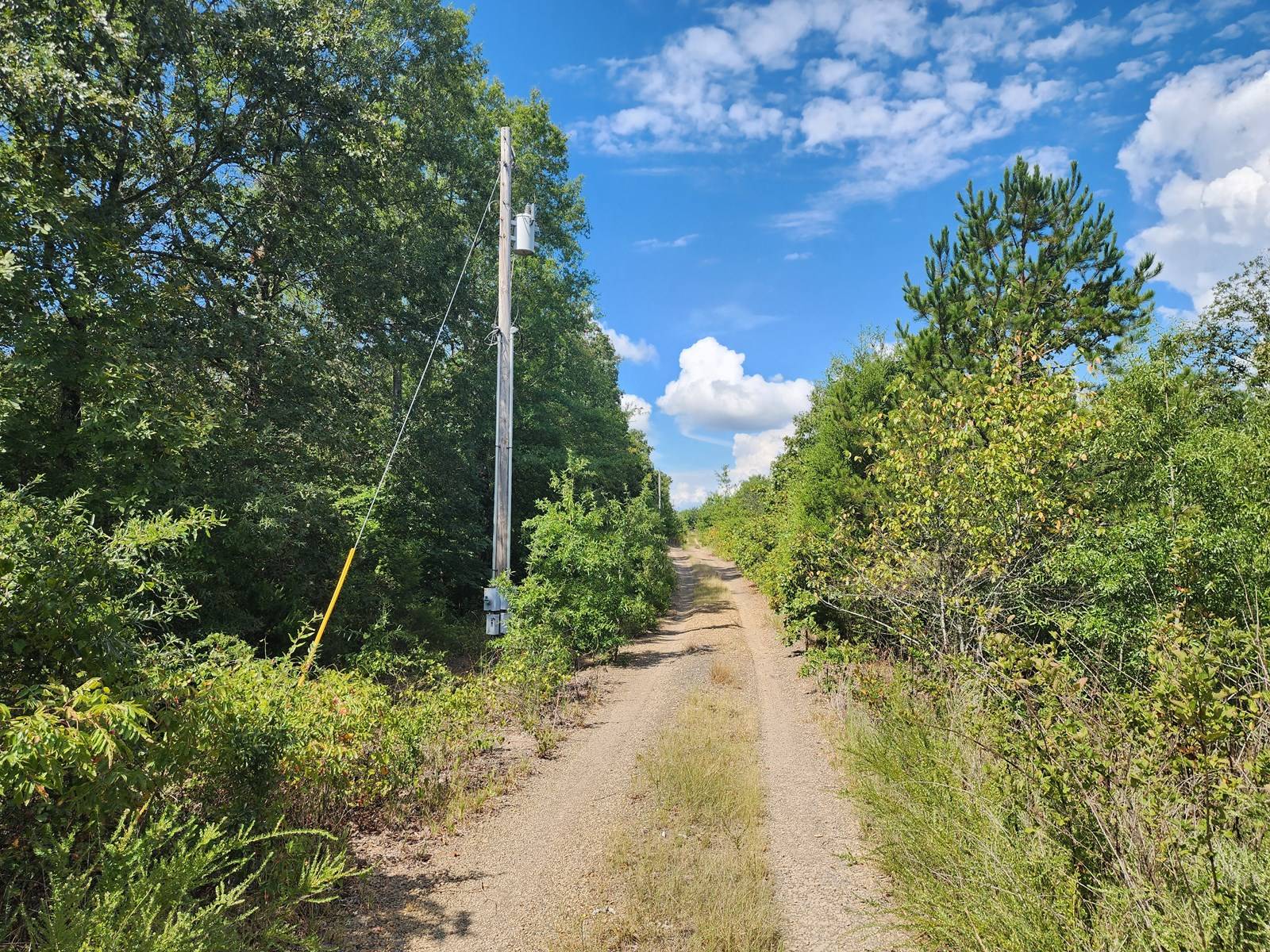
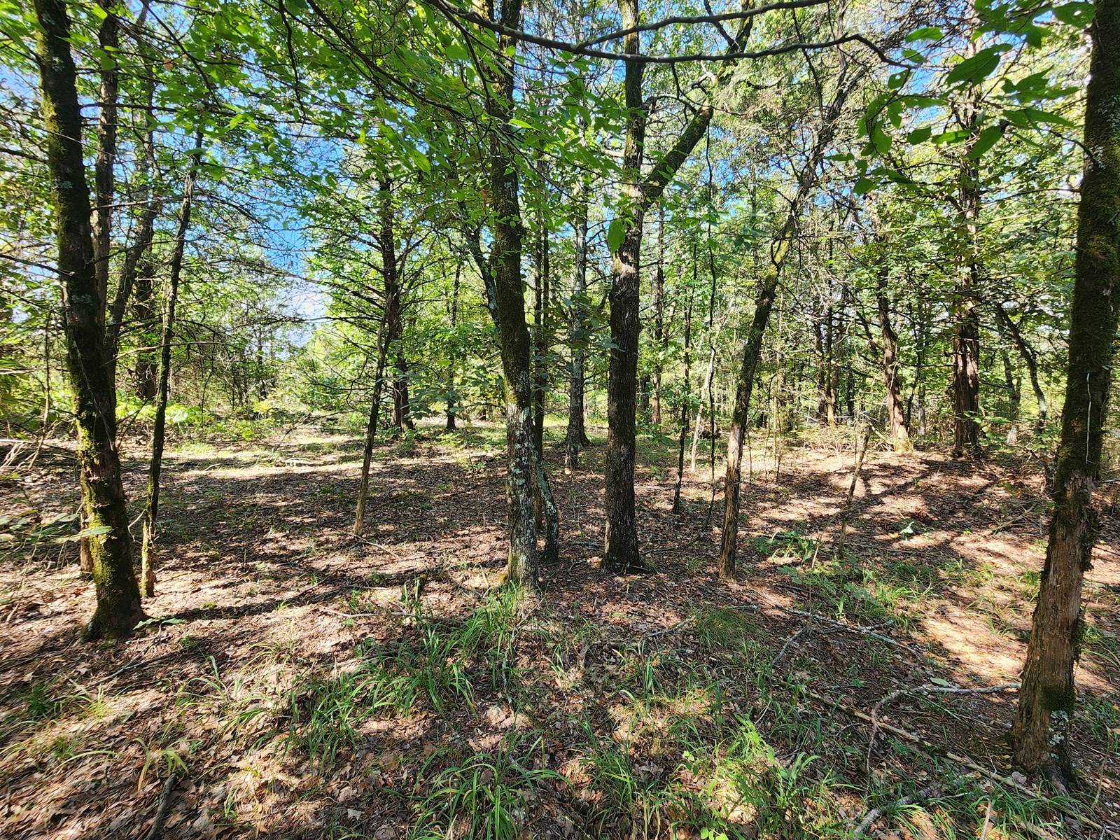
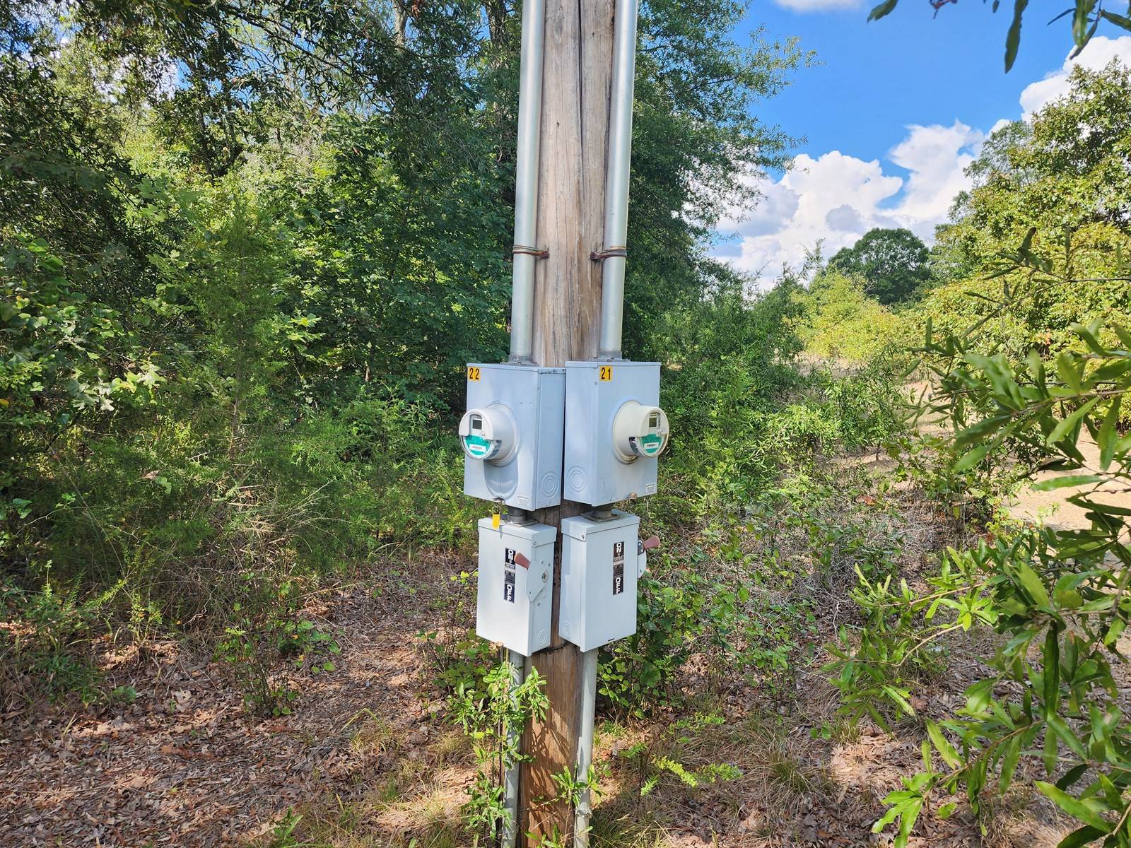
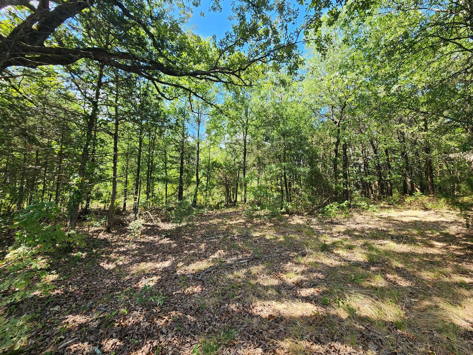
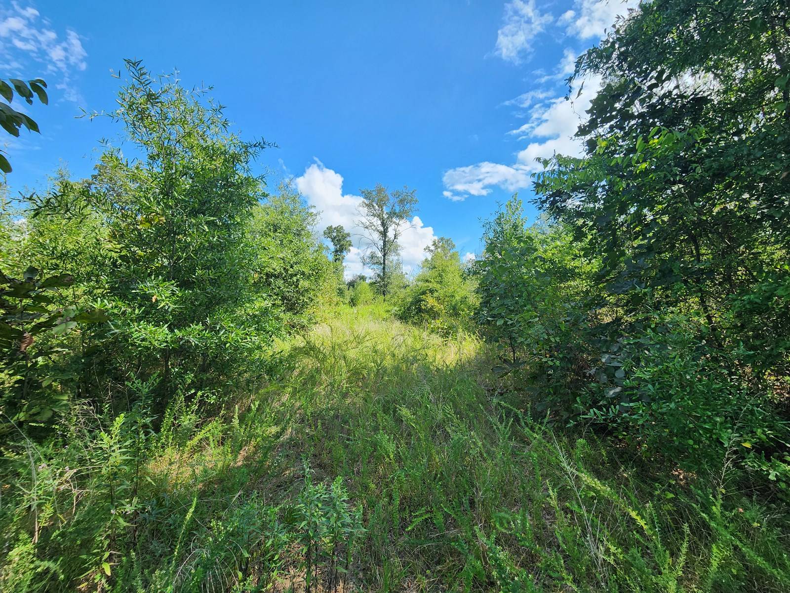
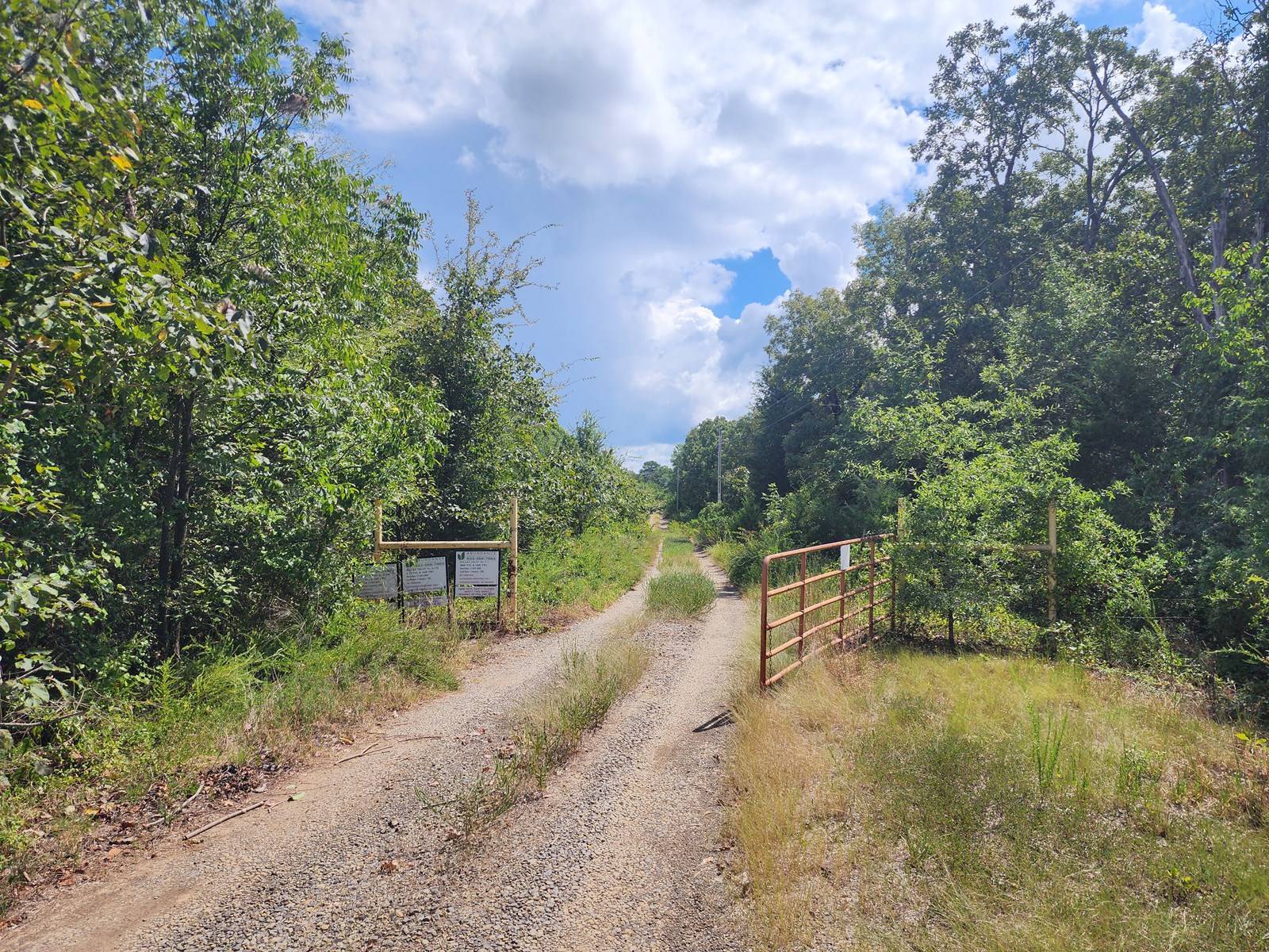
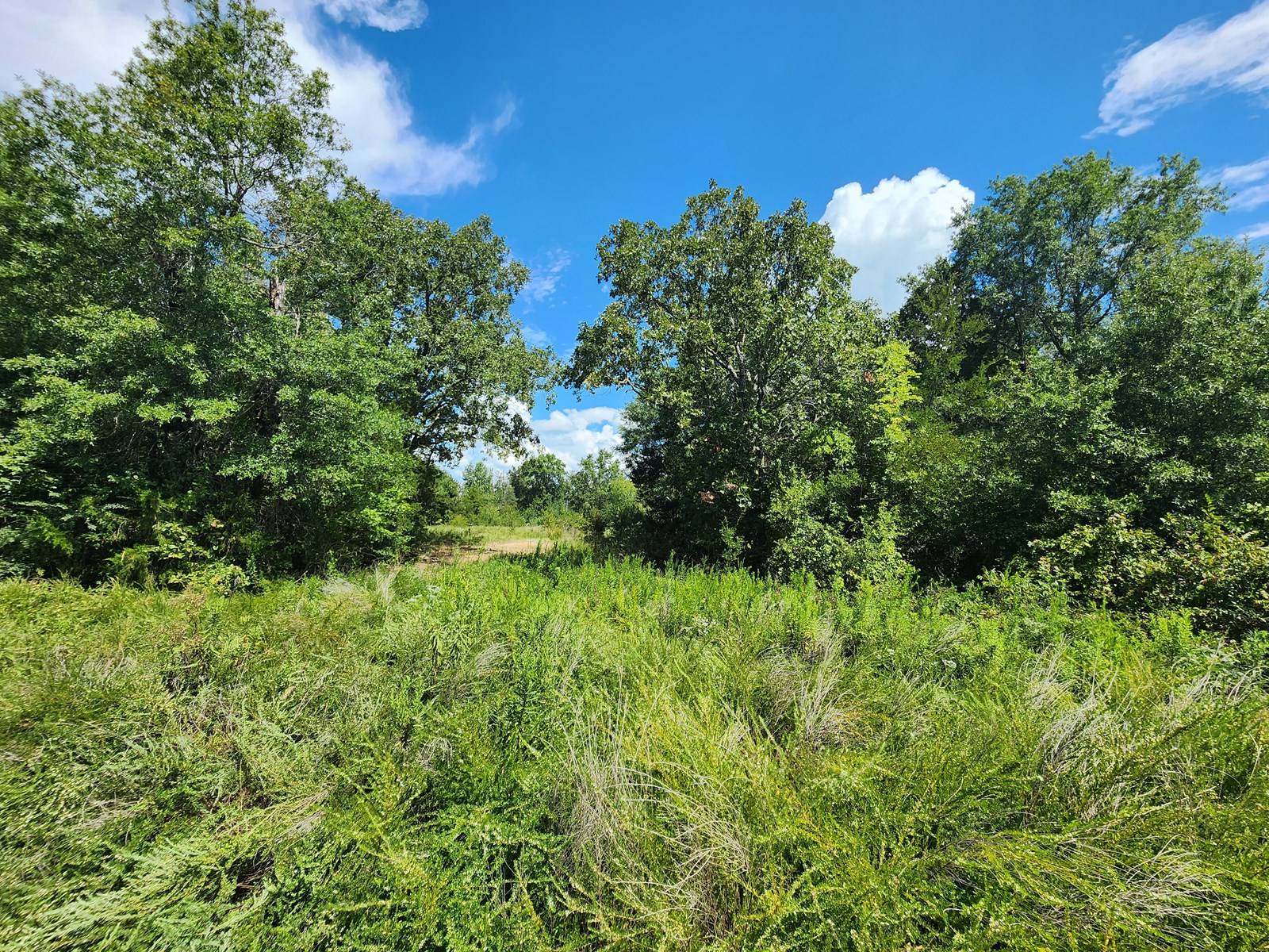
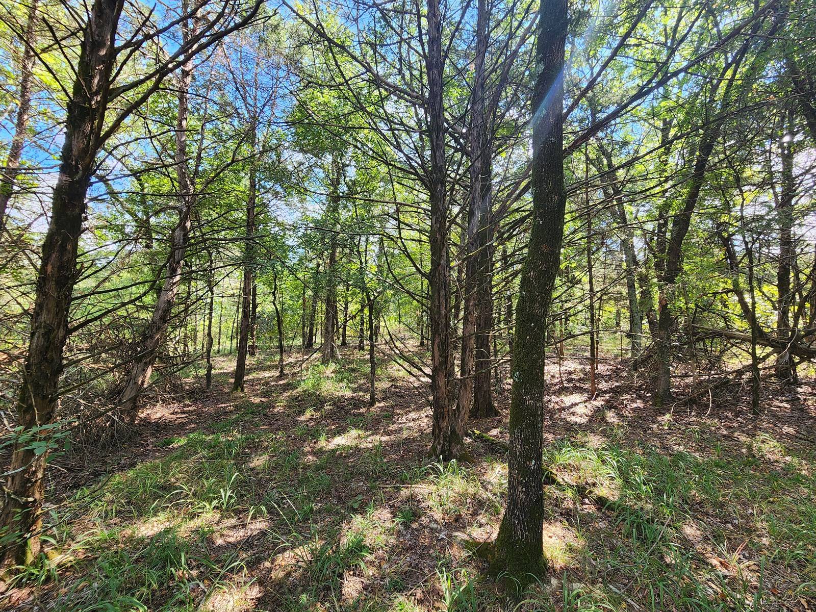
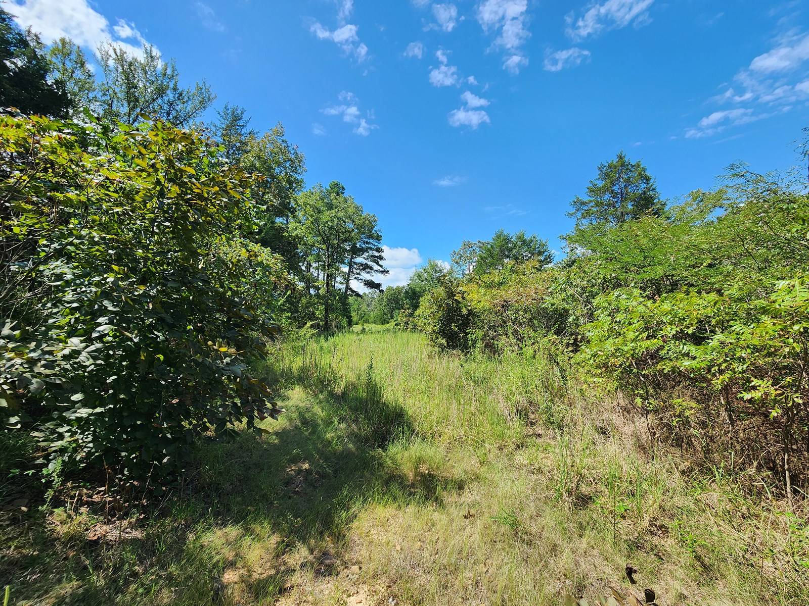
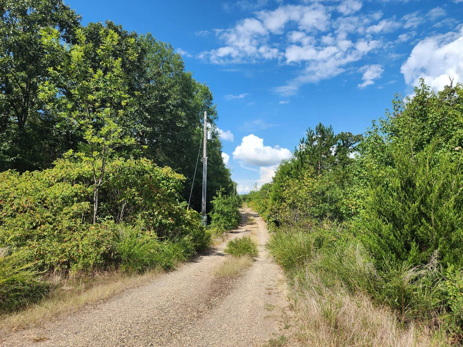
Poteau River Recreational Property Location: This property is located about 4.5 miles south east of the town of Poteau, Oklahoma in Southeastern Oklahoma - Central LeFlore County. The property has frontage along the Poteau River and also Sugarloaf Creek. Wister Lake State Park and the Wister Wildlife Management Area are just a short drive from the property. Wister Lake is 7,300 acres in size with roughly 115 miles of scenic shoreline providing great fishing, boating and water skiing opportunities. Additionally, the property is located 11 miles North of the 1.8 million acre Ouachita National Forest, which provides good hunting opportunities for whitetail deer, eastern wild turkey, black bear, wild hog and access to an impressive network of ATV, hiking and horseback riding trails. The property is about a 4 hour drive from Dallas, Texas. GPS Coordinates: 34.99793, -94.59046 Property Address: There currently is not a physical address for the property since it is raw land. A physical address can be assigned after close if desired by the new owners. Services to Property: There is an above grade rural electric line that runs along part of the South property line. Water wells are commonly drilled in this area. Propane gas can be delivered from many of the surrounding small towns. Conventional septic systems are commonly installed in this area. Deed Restrictions: There are not any deed restrictions associated with this property. Property Access: The property is accessed by a gravel road. Water: The North side of the property has frontage along the Poteau River. Also, the East side of the property has frontage to Sugarloaf Creek. Additionally, there is a small pond on the South side of the property. Fencing: There is partial fencing around the perimeter. Land: There are 110 acres (m/l) of land that is flat to gently sloping and containing a deep and productive sandy loam river bottom type soil. The land is completely covered with timber that is native to southeastern Oklahoma being primarily a variety of different types of oak trees. There was a recent timber harvest on much of the property which has allowed sunlight to reach the forest floor and thus promote the growth of grasses and Forbes that are beneficial to wildlife. There are areas that could potentially be cleared for pasture or food plot areas for wildlife. Roughly 70% of the 110 acres lies in a FEMA Flood Zone A. About 30% of the land on the South side of the property lies outside of the flood zone designation.



 ;
; ;
; ;
; ;
; ;
; ;
; ;
; ;
; ;
; ;
; ;
; ;
; ;
; ;
;