TL 3000 & 3100 Dog Mountain Lane, Burns, OR 97720
New

17 Photos
 
$440,000
Active for Sale
240.00 Acres
 
Listing ID 11326462
Property Type Vacant Land
County Harney
Total Tax $761
FEMA Flood Map fema.gov/portal
   
Associated Documents
BROCHUREFact Sheet
 
Virtual Tour

Eastern Oregon Dog Mountain Parcel ll

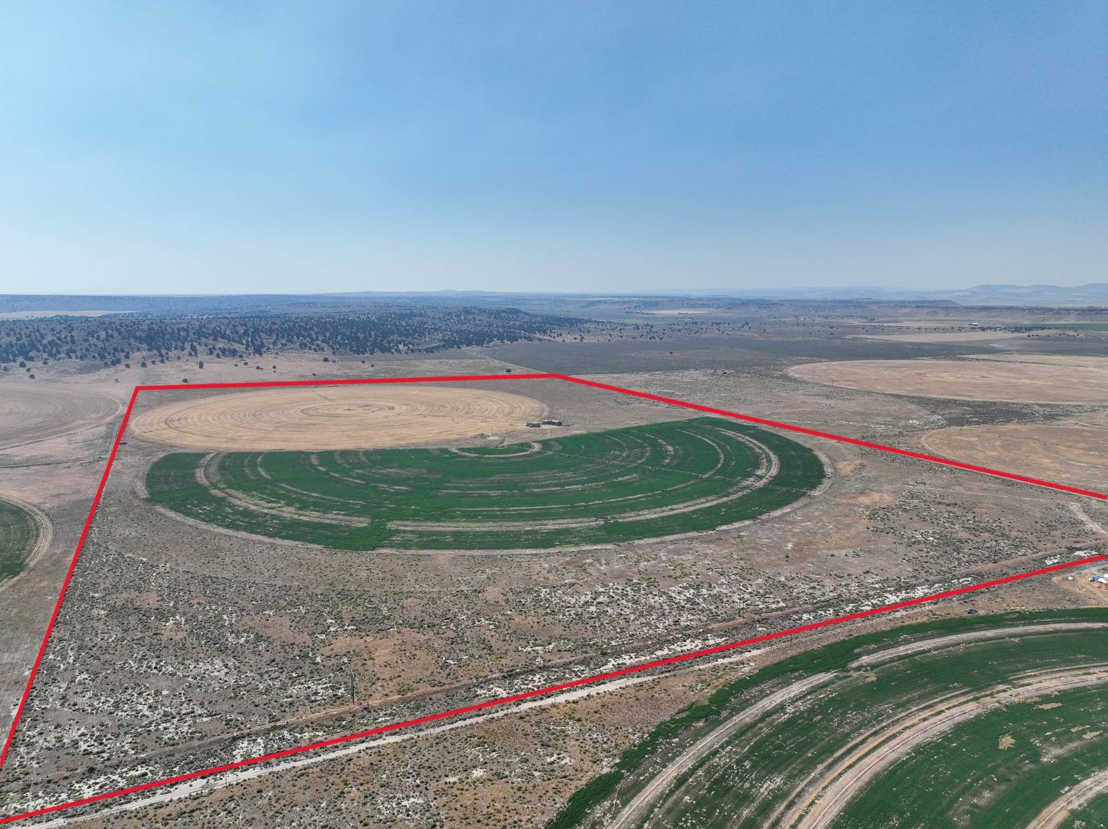
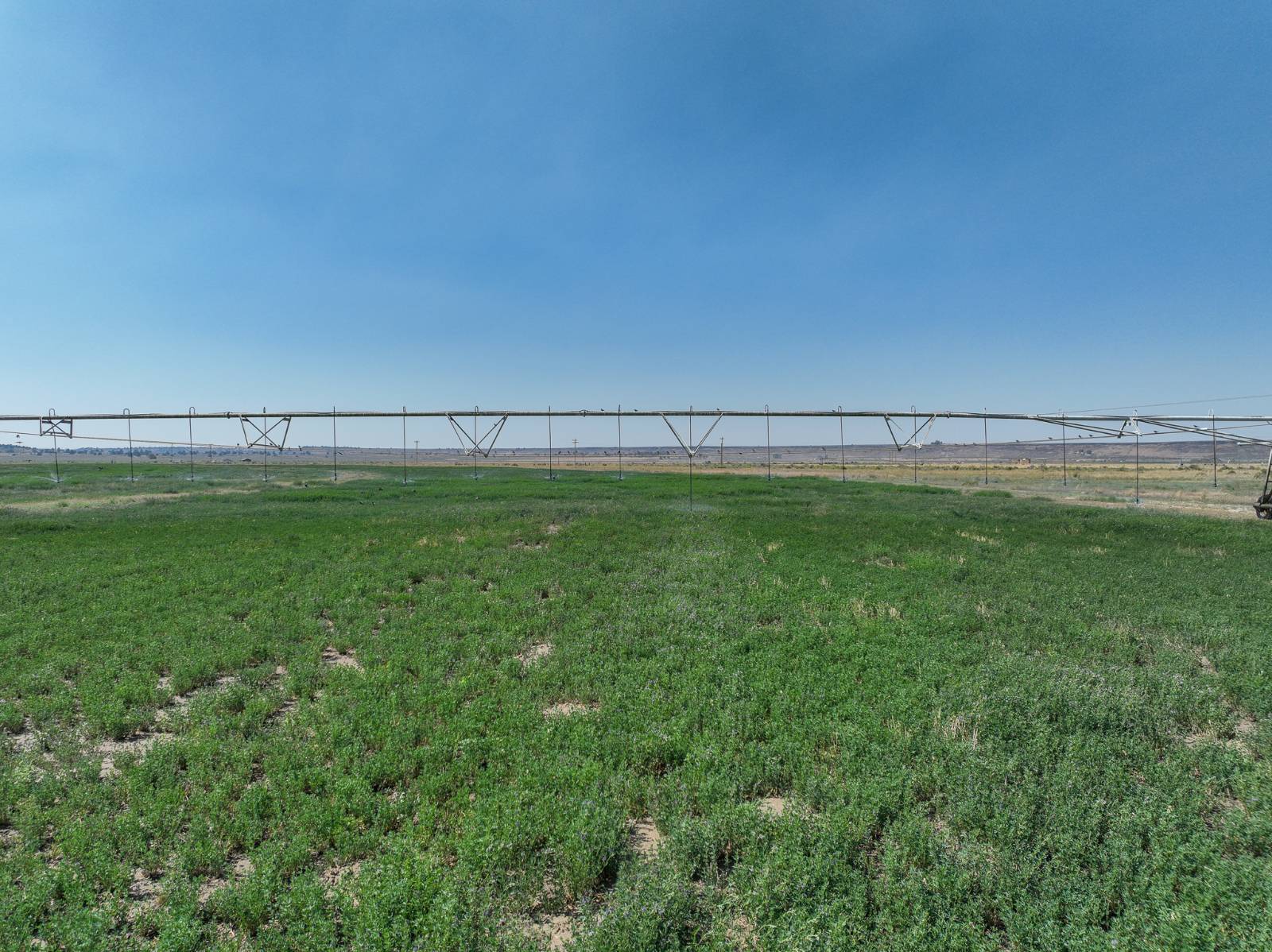
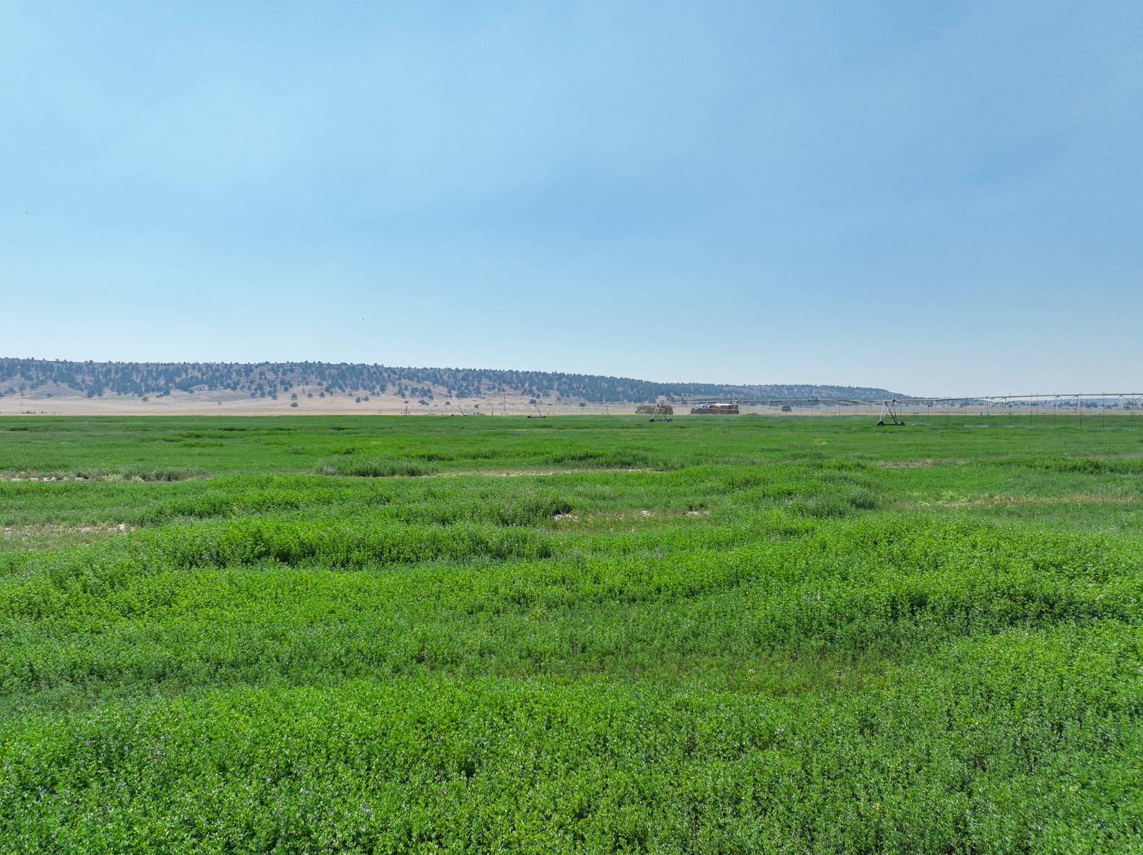
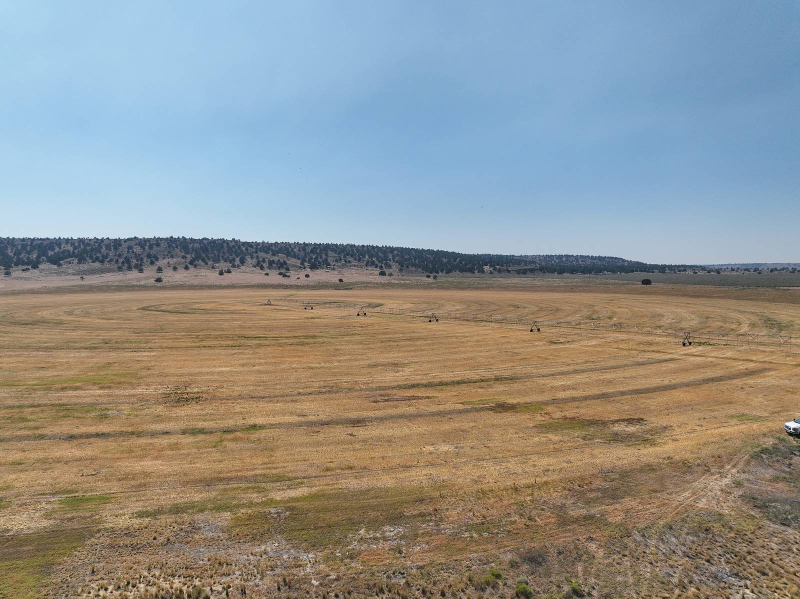
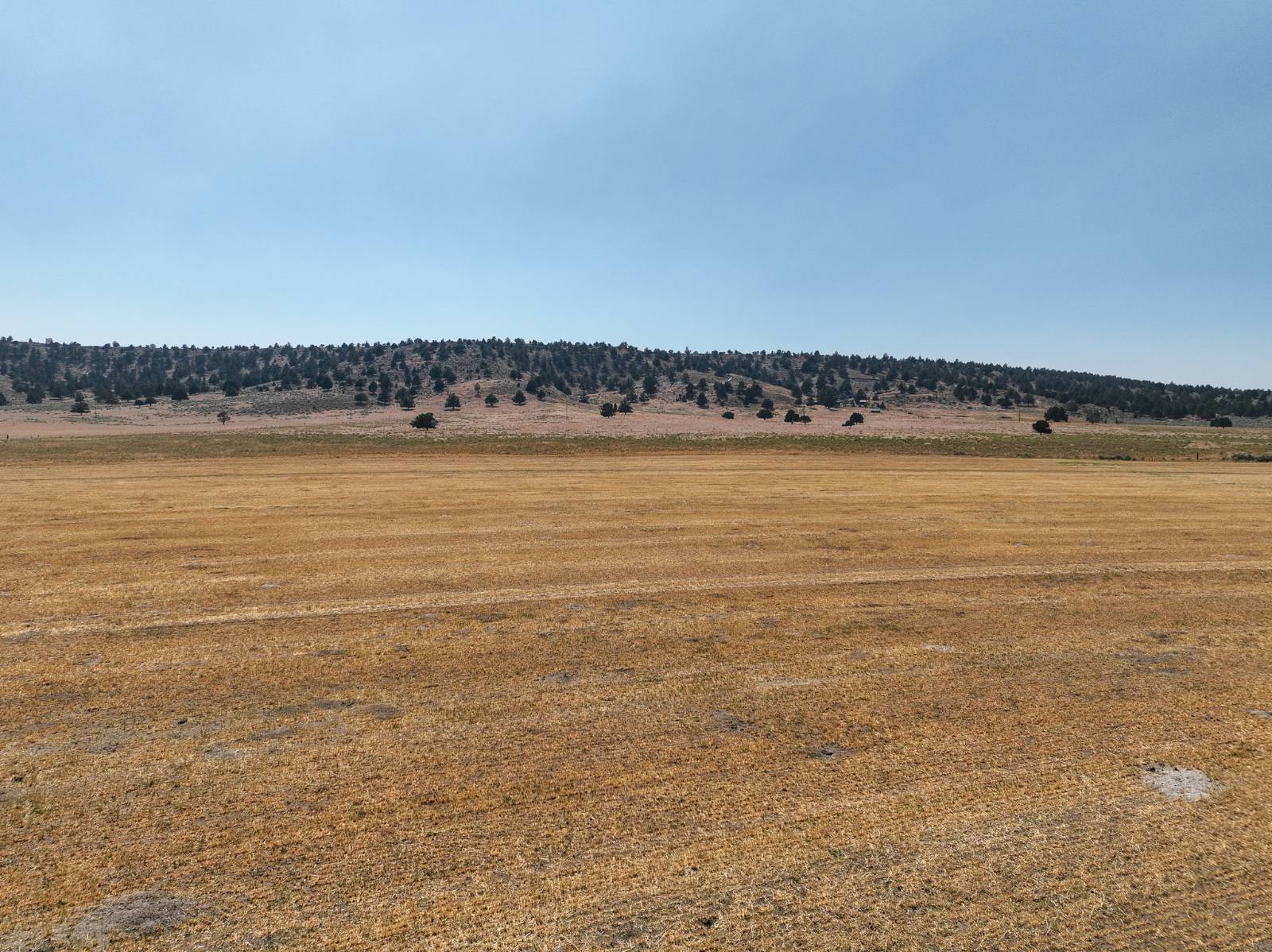
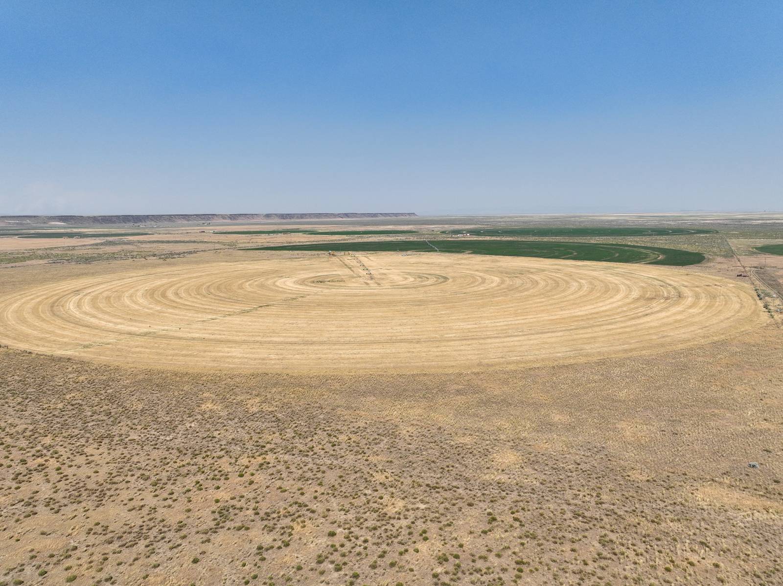
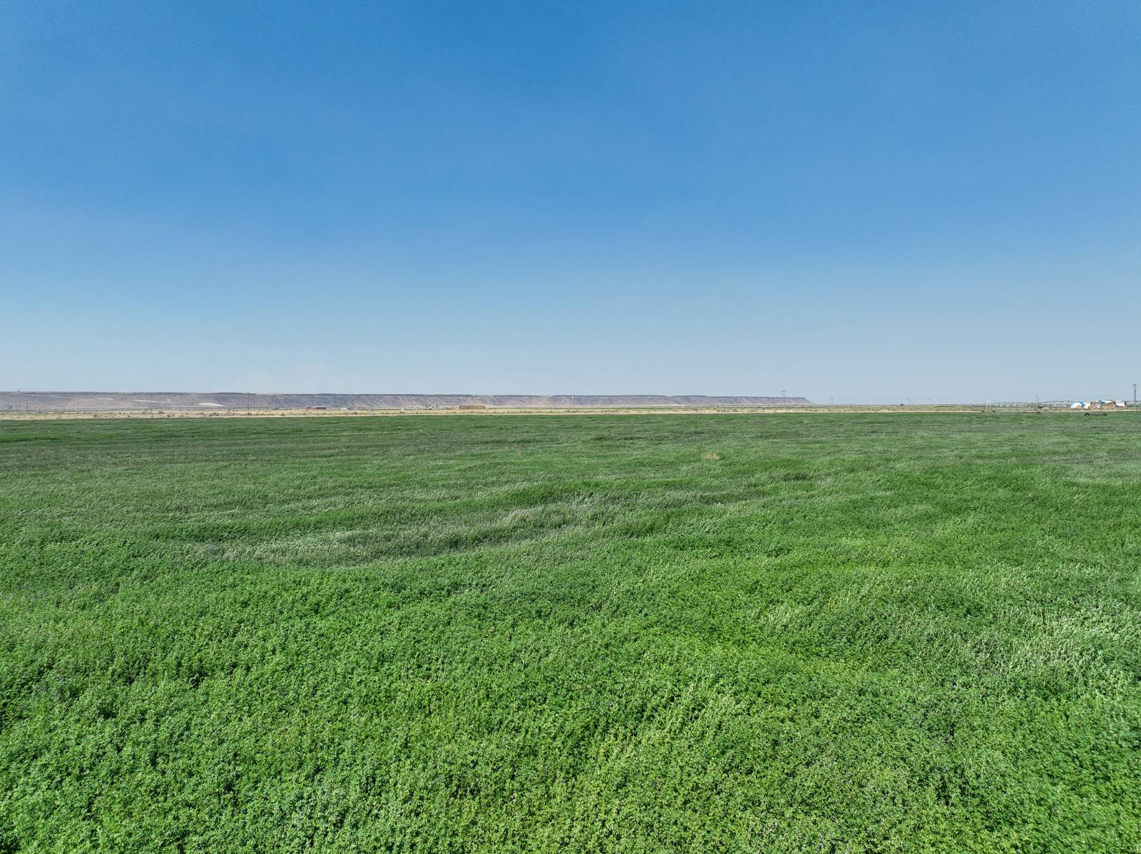
This Eastern Oregon irrigated farm has two pivots irrigating 135 acres near highway 205. This would be a nice smaller hay farm or hobby farm to place your home on. The Eastern Oregon farm is located approximately 3/4 miles off 205 south of Burns Oregon 16 miles. LOCATION: Approximately 16 miles south of Burns; TAX LOT MAPS: 25S31E00-00-03000 & 25S31E00-00-03100; ACREAGE: 240 +/- Deeded Acres - Per County Records, - 135+/- Acres Irrigated by Pivots, - 105+/- Acres of Pivot Corners & Dry Land; UTILITIES: Power - Harney Electric Coop; TAXES: $761.47
Land Details
  • 240.00 Acres
Taxes and Fees
  • $761 Total Tax
Listed By
Jett Blackburn Real Estate Inc.
Office: 541-413-5777
Jett Blackburn Real Estate Inc.
Office: 541-413-5774
Request More Information
Request Showing
Your Preferred Date & Time
Showing Type:
Request Cobroke

If you're not a member, fill in the following form to request cobroke participation and start the signup process.

Listing data is deemed reliable but is NOT guaranteed accurate.
Contact Us
Who Would You Like to Contact Today?

I want to contact an agent about this property!

I wish to provide feedback about the website functionality

Contact Agent
Your Name:
Email:
Phone:
Message:
Security: What is 6 minus 5?